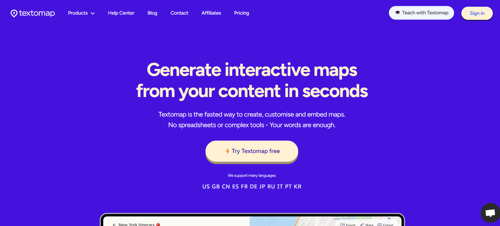
Textomap is an AI-powered mapping tool that transforms any written content into fully interactive maps within seconds. Designed for content creators, educators, journalists, and travelers, Textomap automatically detects geographical locations in your text and visually plots them on a customizable, shareable map.
Whether you’re writing a travel blog, research article, or educational guide, Textomap helps you visualize your content geographically, enhancing reader engagement and understanding. No coding, plugins, or GIS knowledge is needed—just copy your text, paste it into Textomap, and get a live, embeddable map that aligns perfectly with your narrative.
This makes Textomap a powerful storytelling and teaching tool, bridging the gap between written content and spatial awareness.
Features
AI-Powered Location Detection
- Automatically extracts place names and geo-coordinates from any text
- Uses natural language processing to understand context
Instant Interactive Maps
- Converts written content into interactive maps in seconds
- Supports global locations, including cities, landmarks, and regions
Embed and Share
- Easily embed maps into blogs, articles, websites, or newsletters
- Share direct links or export visuals for presentations
Text Highlighting and Map Sync
- Highlights corresponding text when you click on a map location
- Readers can explore your content interactively without scrolling endlessly
Customizable Map Styles
- Choose from different map themes and views (satellite, street, terrain)
- Personalize appearance to match your brand or content tone
Multilingual Support
- Works with text written in multiple languages
- Ideal for international audiences and multilingual publications
How It Works
- Write or Paste Your Text – Use any content containing place names (e.g., a travel journal, historical essay, or blog post).
- Submit to Textomap – Paste your text into the Textomap platform and click “Map It.”
- Let the AI Work – Textomap detects all relevant geographic locations in your content.
- Customize and Share – Adjust the look of your map and embed it on your site or export it for other uses.
Use Cases
For Travel Bloggers
Turn your itinerary or travel journal into an interactive map to visually showcase the journey and engage readers.
For Educators
Create dynamic maps from lesson plans or historical narratives to enhance classroom interaction and student understanding.
For Journalists
Add geographic context to news stories by mapping the locations mentioned in your reports.
For Marketers and Content Creators
Visualize event locations, global customer stories, or regional campaigns in blog posts or whitepapers.
For Nonprofits and Researchers
Demonstrate the geographic spread of initiatives, fieldwork, or case studies with shareable, informative maps.
Pricing Plans
Textomap offers flexible pricing depending on user needs and volume of content:
Free Plan
- Map up to 1,000 characters of text
- Basic styling and map generation
- Suitable for casual or personal use
Pro Plan – $15/month
- Map longer texts (up to 10,000 characters)
- Premium map customization
- Embed and download capabilities
- Email support
Team and Enterprise Plans
- Custom pricing
- Collaboration tools for teams
- Priority support and additional character limits
- API access for large-scale integrations
For the most current pricing or to explore enterprise features, visit the Textomap Pricing Page.
Strengths
- Converts plain text into visually engaging maps in seconds
- No technical knowledge or map creation skills needed
- Enhances storytelling with spatial context
- Easily embeddable in various platforms
- Supports a wide range of use cases, from blogging to education
Drawbacks
- Character limits apply on the free plan
- Not designed for GIS professionals or complex geospatial analysis
- Requires internet access to generate and view maps
- May miss ambiguous or lesser-known locations without clear context
Comparison with Other Tools
When compared to tools like Google My Maps, Mapme, and StoryMapJS, Textomap stands out for its simplicity and automation.
Google My Maps allows manual plotting but requires users to enter data and customize maps manually. Mapme and StoryMapJS offer multimedia storytelling but demand time-consuming setup and are geared toward more advanced users.
Textomap, by contrast, requires no manual input beyond your existing text. It’s perfect for writers and educators who want to quickly visualize content without learning mapping tools. Its AI-powered location detection is what makes it uniquely efficient—ideal for turning long-form content into interactive spatial narratives.
Customer Reviews and Testimonials
Writers, educators, and content strategists praise Textomap for its ease of use and content-enhancing visuals:
- “Textomap took my 2,000-word travel blog and turned it into a beautiful map in seconds.”
- “As a teacher, I now bring geography into history lessons effortlessly.”
- “It’s become a core part of how I present research findings to clients.”
Users consistently highlight the speed, accessibility, and professional polish Textomap adds to their content.
Conclusion
Textomap is a smart, user-friendly solution for anyone looking to enhance their written content with interactive maps. Whether you’re a writer, educator, marketer, or journalist, it helps bridge the gap between storytelling and geography—automatically.
By turning words into maps, Textomap boosts engagement, comprehension, and shareability across all types of content.
Start mapping your stories at https://www.textomap.com.